
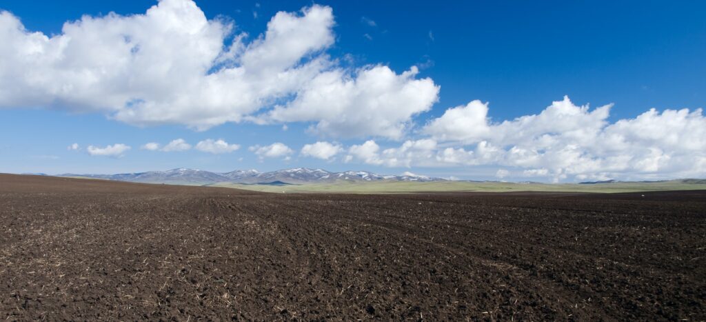
The current food production techniques are striving to be more and more sustainable. Intensive farming techniques and widespread chemical usage are draining our soil and poisoning our water. Furthermore, agriculture is responsible for a large portion of our water use. The World Bank estimates that agricultural use accounts for 70% of all freshwater usage globally. To make matters worse, global warming causing drought in many countries has increased the water demand, particularly in Europe, which saw exceptional heat waves in the past year.
Sustainable development goals necessitate environmentally friendly agriculture while producing the best feasible yields; this is where soil mapping comes in. For encouraging sustainable agriculture with accurate inputs in amount, place, and time, detailed information on the soil profile and its geographical distribution is required. Accurate and up-to-date information on soil composition, in particular, enable better and more effective fertility management, boosting crop productivity and sustainability.
What is Soil Mapping?
Soils provide critical ecosystem services such as water filtering, flood control, plant growth medium, and habitat for soil biota. Agriculture covers around 38% of the earth’s ice-free area, with croplands accounting for approximately 12% and pastures accounting for about 26%. Soil information is thus essential for long-term soil management. The soil profile and its spatial distribution are two critical components for encouraging sustainable agriculture, which requires precise inputs in amount, space, and time.
The development of a numerical or statistical model of the link between environmental variables and soil qualities, which is then applied to a geographic data source to build a predictive map, is what digital soil mapping (DSM) is all about. Geocomputational technologies developed during the last couple of decades have enabled DSM. They employ modern geographic information science, digital terrain modelling, remote sensing, field mapping and fuzzy logic to create precise 3D soil survey maps.
Why are soil maps created?
You need primary data to create application maps (fertiliser, seeding, soil tillage). Yield maps or aerial photographs are often used for this. However, the disadvantage is that it is only possible to react to data with a significant time delay. NDVI (Normalized Difference Vegetation Index) and aerial photographs also do not allow any conclusive statements to be made about the soil structure but instead describe the current vegetation situation at the time the image was taken. They only actually show symptoms rather than the causes.
On the other hand, electrical conductivity is affected by soil type, compaction, moisture content, organic residues and salt content. This means soil parameters can also be calculated from conductivity values using appropriate algorithms and displayed in map form.
How do the 3D soil maps help farmers and agricultural companies?
Soil mapping has become common practice in so-called precision farming, which employs cutting-edge technology to acquire the most exact information about the condition of the soil, the weather, and the crops. Farmers benefit from the soil mapping software in the following ways:
Soil Composition: Understanding which soil elements exist is critical to determining which crops or varieties best suit each land parcel.
Humidity Checks: It is critical to understand the humidity of each crop area. This allows for better irrigation management. This check is usually done using soil temperature maps.
Soil texture: Knowing the soil’s surface allows farmers to determine which fertilisers they can apply at any given time and location.
Ph and conductivity: It is critical to determine soil variables such as ph and conductivity to better select fertilisers and other nutrients.
Fertility levels: Knowing what fertility may be expected from a land plot is essential for selecting the best crop cultivation periods.
SoilOptix® offers an innovative suite of soil health layers, hand-crafted for you to analyse soil health. Visit www.soiloptix.com to know more.