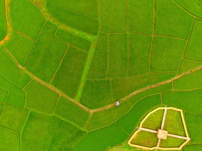
The use of technology in agriculture is not a new phenomenon anymore. Future growth in agriculture must come from new technologies that are not only cost-effective but also conform to the natural climatic regime of any region. Sustainable agricultural production always depends on the judicious use of natural resources in acceptable technology management under the prevailing socio-economic infrastructure. Technologies that support field mapping for agriculture use plays a vital role in developing countries’ rapid economic growth and social transformation.
Field mapping for agricultural operations
Farm field maps are the digital representations of your fields that show valuable information, like what crop is planted in each field, the field acreage, markers for points of interest, growing patterns, and more. One of the most significant benefits of having farm field maps handy or just having quick access to generate a map is communication. If you farm, I’m sure someone will request a map from you at some point. For example, your farm’s compliance or insurance company may require a map showing crops planted in each field. Any input supplier or custom applicator will need detailed field maps to accurately apply products.
What is GIS Mapping?
GIS mapping is a cutting-edge technology that combines geographical data with advanced software to map and analyze agricultural landscapes, providing farmers with valuable insights into their fields. GIS mapping enables farmers to make informed decisions and undertake precise actions that optimize crop production by integrating information such as soil composition, topography, weather patterns, and crop types.

Precision Agriculture: The Game Changer
One of the critical applications of GIS mapping in crop management is precision agriculture. Precision agriculture involves using advanced technologies, such as GPS, remote sensing, and GIS, to gather and analyze data from individual crop areas. This data is then used to optimize resource allocation, implement site-specific farming practices, and make data-driven decisions.
Precision agriculture offers a wide range of benefits for farmers, including:
Increased Efficiency:
By employing precision agriculture techniques, farmers can also optimize their use of resources such as water, fertilizers, and pesticides. This enhances crop productivity, reduces costs, and minimizes environmental impact.
Pest and Disease Management:
GIS mapping helps identify areas susceptible to pests and diseases, enabling farmers to take targeted preventive measures. This proactive approach minimizes the need for excessive chemical treatments and promotes healthier crops.
Yield Monitoring:
With precision agriculture, farmers can monitor crop growth and yield patterns throughout the season. This information allows them to identify areas of improvement and adjust their strategies accordingly, ultimately maximizing yields.
The Power of Advanced GIS Mapping Techniques:
GIS mapping, short for Geographic Information System mapping, refers to integrating spatial and tabular data to visualize, analyze, and interpret geographic information. When applied to precision agriculture, field mapping for agriculture empowers farmers with advanced tools to make accurate decisions about their fields, increasing productivity and reducing costs.
Let’s take a closer look at some key features and advantages of advanced GIS mapping techniques in precision agriculture:
Accurate Soil Analysis:
GIS mapping allows farmers to assess soil conditions in a precise manner, helping them make well-informed decisions regarding irrigation, fertilization, and crop rotation. By analyzing soil moisture levels, nutrient distribution, and other factors, farmers can optimize their efforts to maximize crop yield.
Pest and Disease Control:
With GIS mapping, farmers can track the spread of pests and diseases in real-time, identifying vulnerable areas and taking preventive measures promptly. This enables the application of targeted treatments, reducing the dependence on chemical pesticides and minimizing environmental impact.
Precise Resource Management:
Advanced GIS mapping techniques enable farmers to optimize resources like water, energy, and fertilizers. By analyzing data on crop growth, weather patterns, and soil conditions, farmers can make accurate decisions on resource allocation, reducing waste and ensuring sustainable farming practices.
Yield Monitoring and Predictability:
GIS mapping techniques assist farmers in monitoring crop growth and predicting yields. By overlaying historical yield data with real-time factors like weather conditions and soil moisture levels, farmers can estimate future crop performance and plan accordingly.
Benefits of Precision Agriculture and GIS Mapping:
The integration of precision agriculture and GIS mapping offers a multitude of benefits, revolutionizing the farming industry:
Increased Crop Yields:
Precision agriculture enables farmers to fertilize crops, control pests, and optimize irrigation precisely. By tailoring these practices to specific field areas, farmers can maximize crop yields by ensuring that plants receive the necessary nutrients, water, and protection.
Efficient Resource Management:
Farmers gain critical insights into soil conditions, weather patterns, and vegetation indices through GIS mapping. This empowers them to allocate resources effectively, reducing waste and improving overall resource management efficiency.
Cost Savings:
Precision agriculture can lead to significant cost savings by applying resources and optimizing farming practices. Farmers can reduce unnecessary expenses by avoiding the overuse of fertilizers, pesticides, and irrigation systems, resulting in improved profitability.
Environmental Sustainability:
Precision agriculture helps to minimize environmental impact by reducing chemicals and fertilizers. By adopting targeted techniques, farmers can ensure that resources are utilized judiciously, reducing pollution and preserving natural ecosystems.
Improved Decision-Making:
Farmers are empowered to make timely, data-driven decisions with real-time data at their fingertips. By analyzing trends, yield data, and field variability, they can respond proactively to challenges and capitalize on opportunities.
GPS mapping has become crucial in modern farm management, bringing numerous benefits and transforming agricultural practices. With its powerful tools and applications, the geospatial technology is changing the agriculture industry in diverse ways. The benefits are far-reaching, right from optimizing crop yields to driving precision farming through GPS technology. As we look towards the future, embracing the innovations and exploring the opportunities geospatial tech brings to the agriculture sector is crucial.
If you want a comprehensive solution for mapping your farm’s soil layer, contact our experts at SoilOptix®.
